Professional Drone Services
See the whole
project.
Professional drone services for construction, infrastructure and commercial projects across Maryland, DC and Virginia.
FAA Part 107 CertifiedInsuredMD / DC / VA
What We Do
Your project.
From a better perspective.
From recurring construction progress photos to inspections, mapping and aerial media, Next Tier Aerial gives your team a clear view of what's happening on the ground.
01 / Services
Drone services
built for real projects.
01
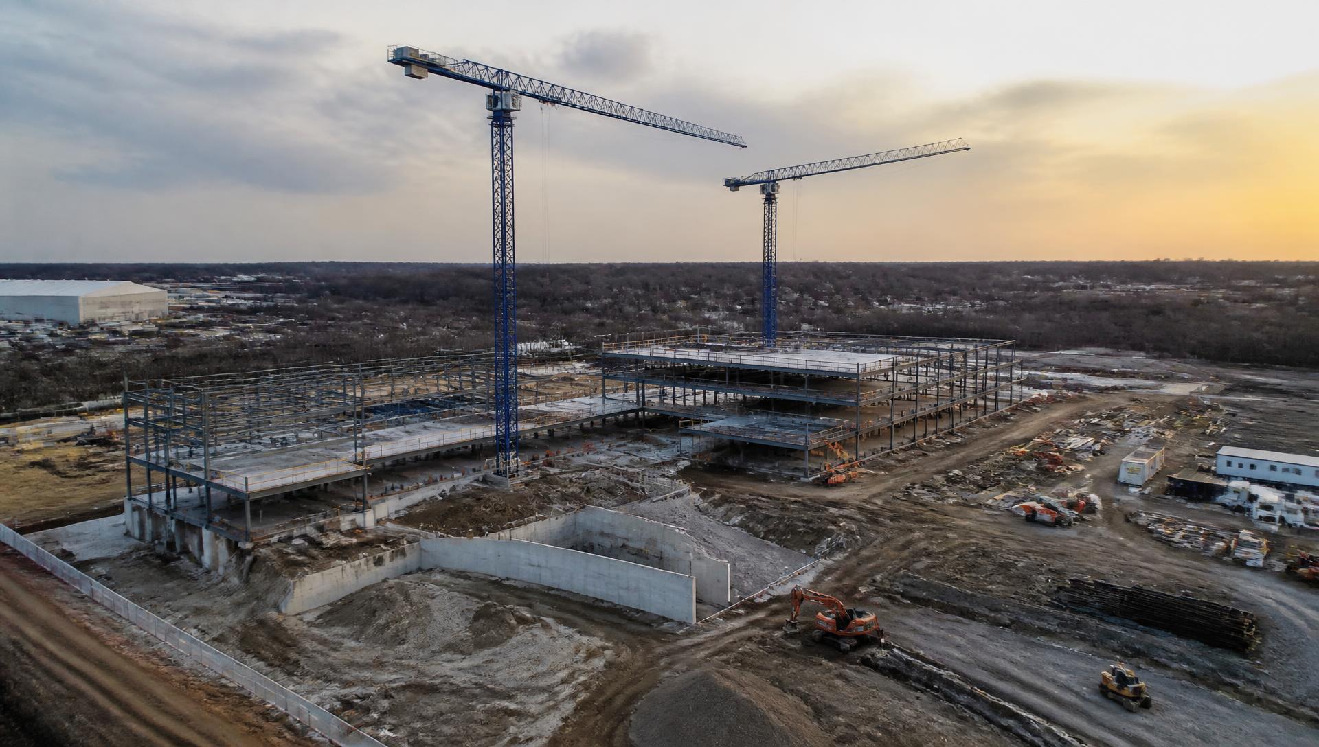
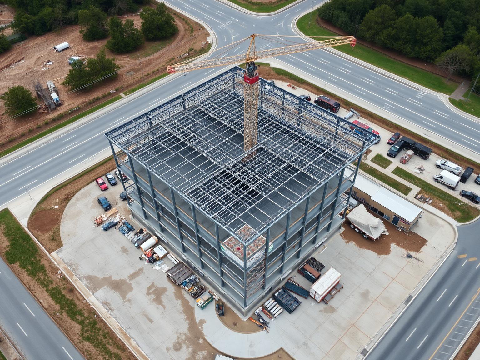
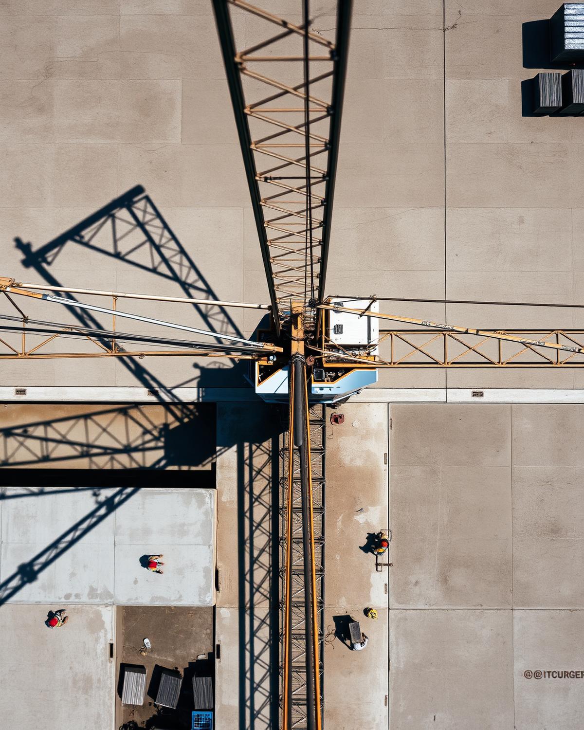
Construction progress monitoring
Document every milestone from groundbreaking through completion with scheduled aerial photography and video.
Explore Service02
Drone inspections
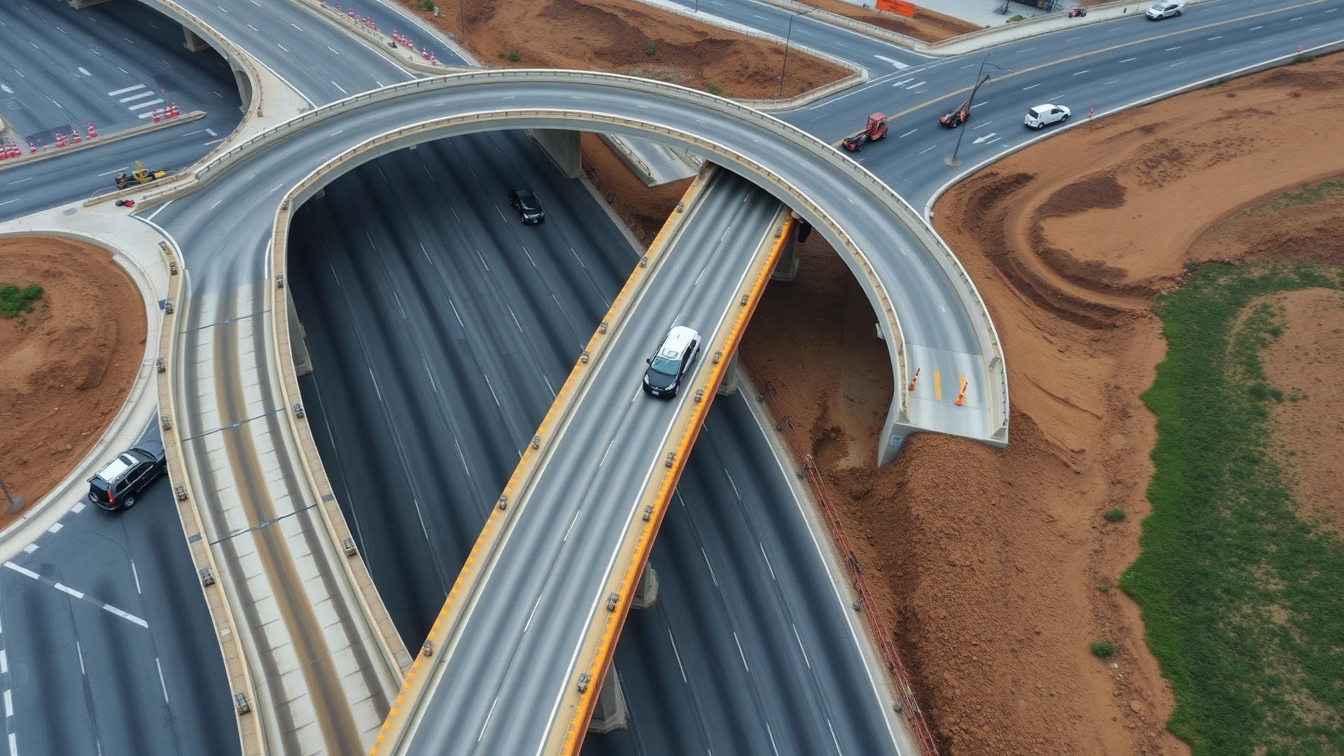
Capture detailed imagery of roofs, structures and difficult-to-access areas safely and efficiently.
Explore Service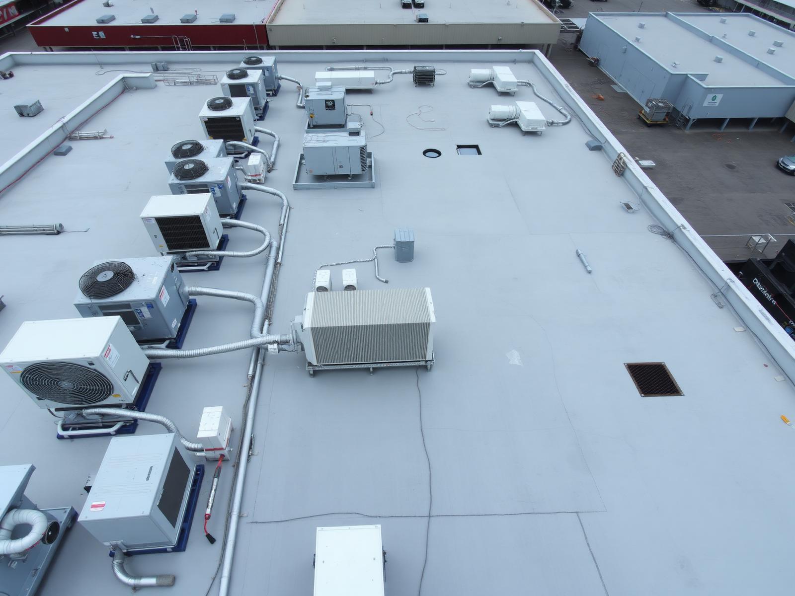
03
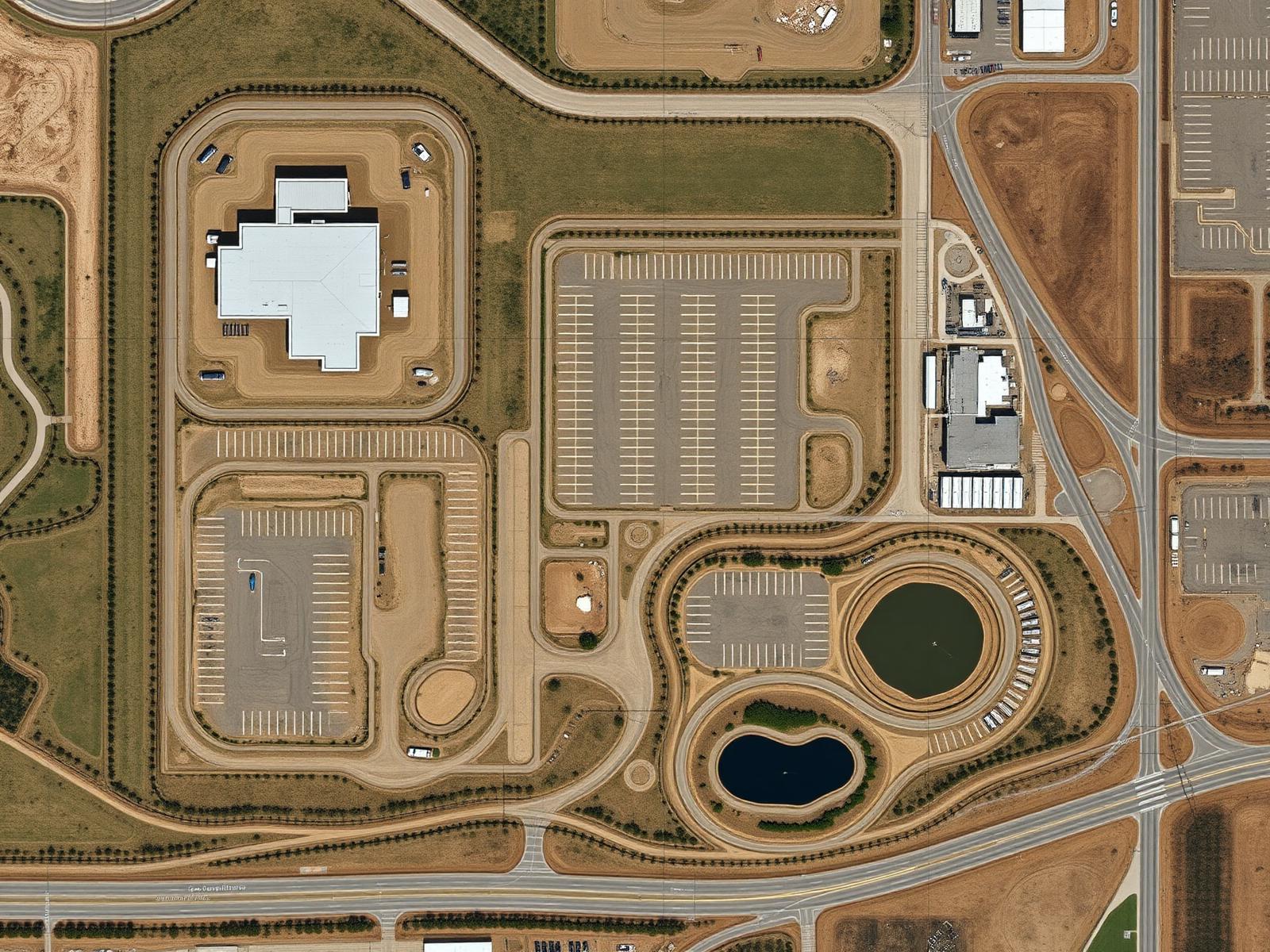
Mapping & modeling
Gain a clearer view of your site with professional aerial mapping, imagery and visual documentation.
Explore Service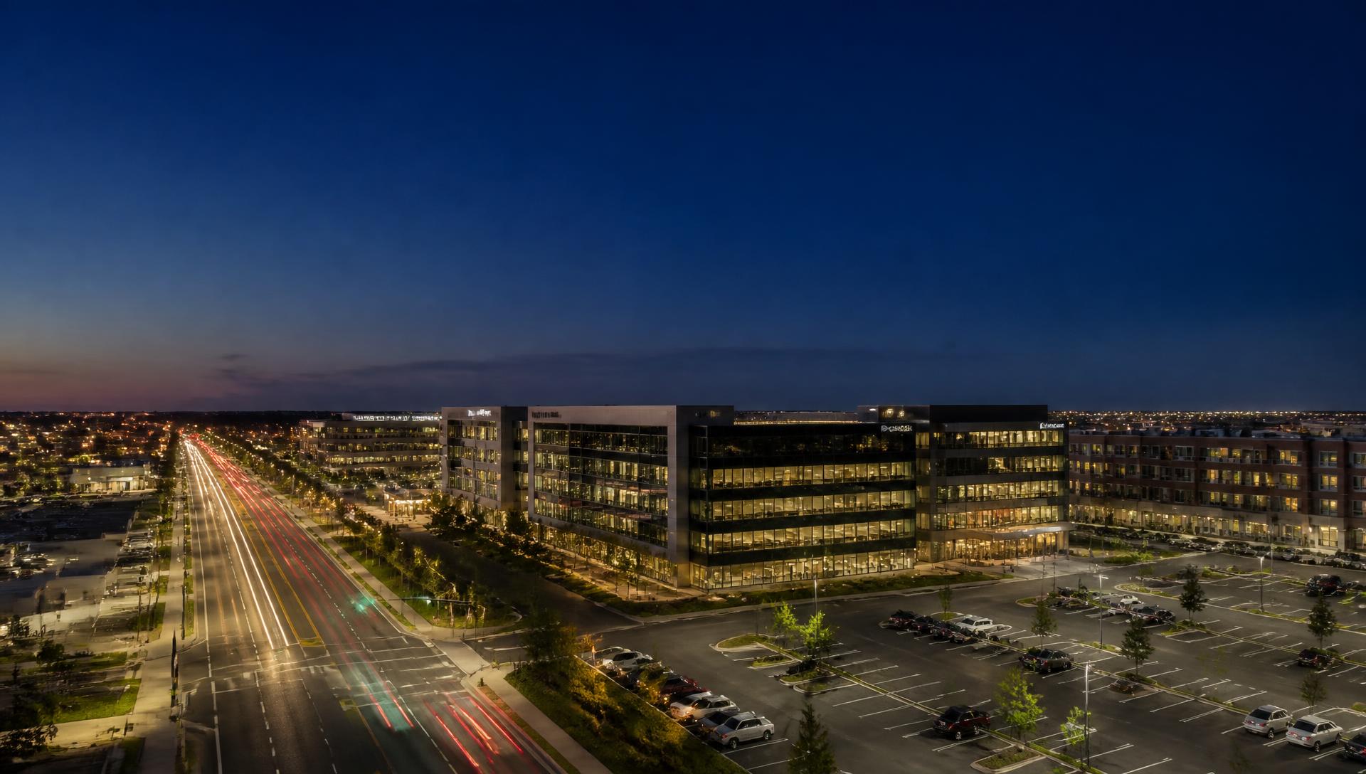
04 [MEDIA_IMAGE_01]
Aerial photography & video
Professional aerial imagery that showcases properties, projects and developments from a perspective that stands out.
Explore ServiceConstruction Progress Monitoring
Every stage.
Documented.
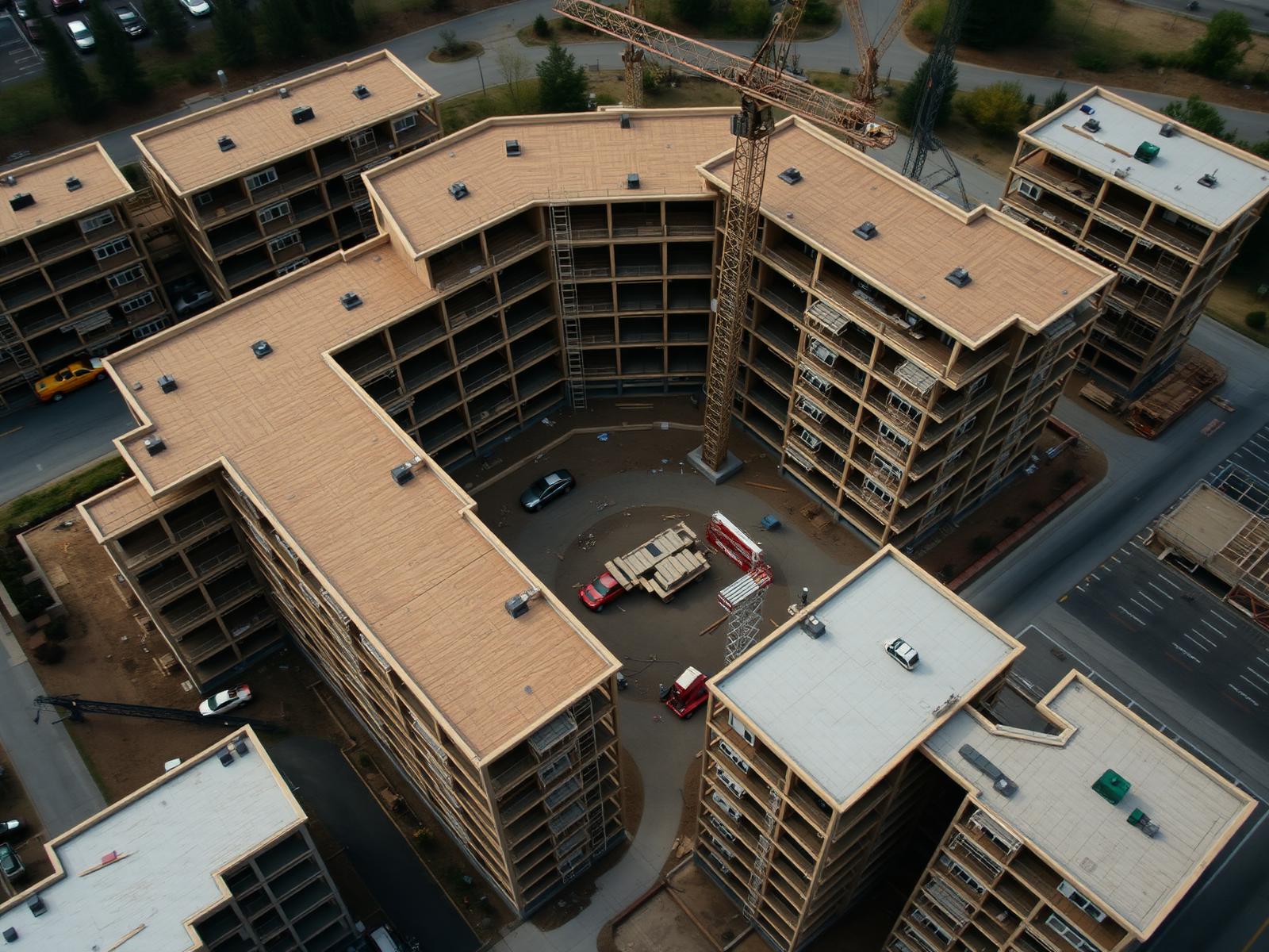
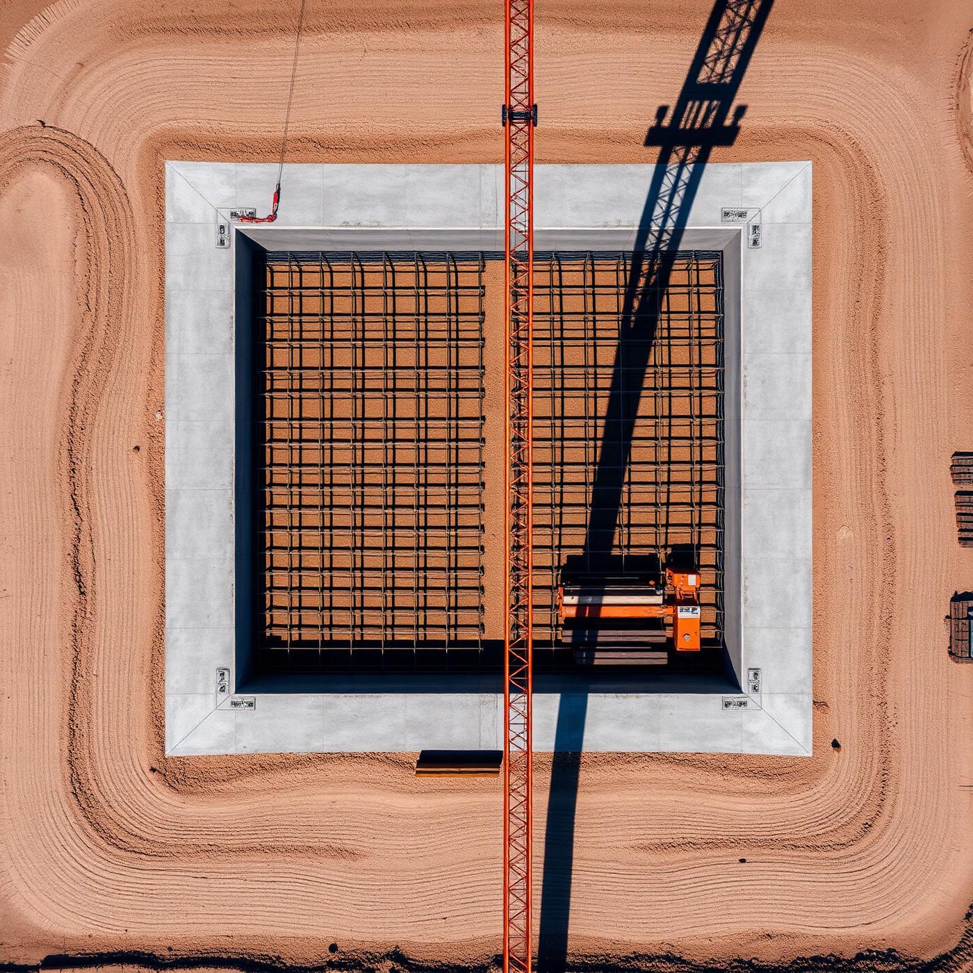
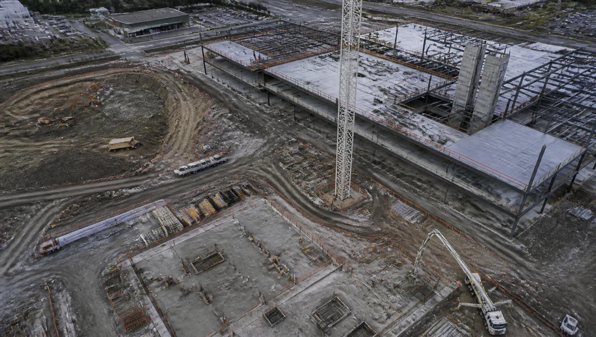
Your jobsite changes every week. Scheduled aerial documentation gives your team a consistent visual record of progress from groundbreaking through completion.
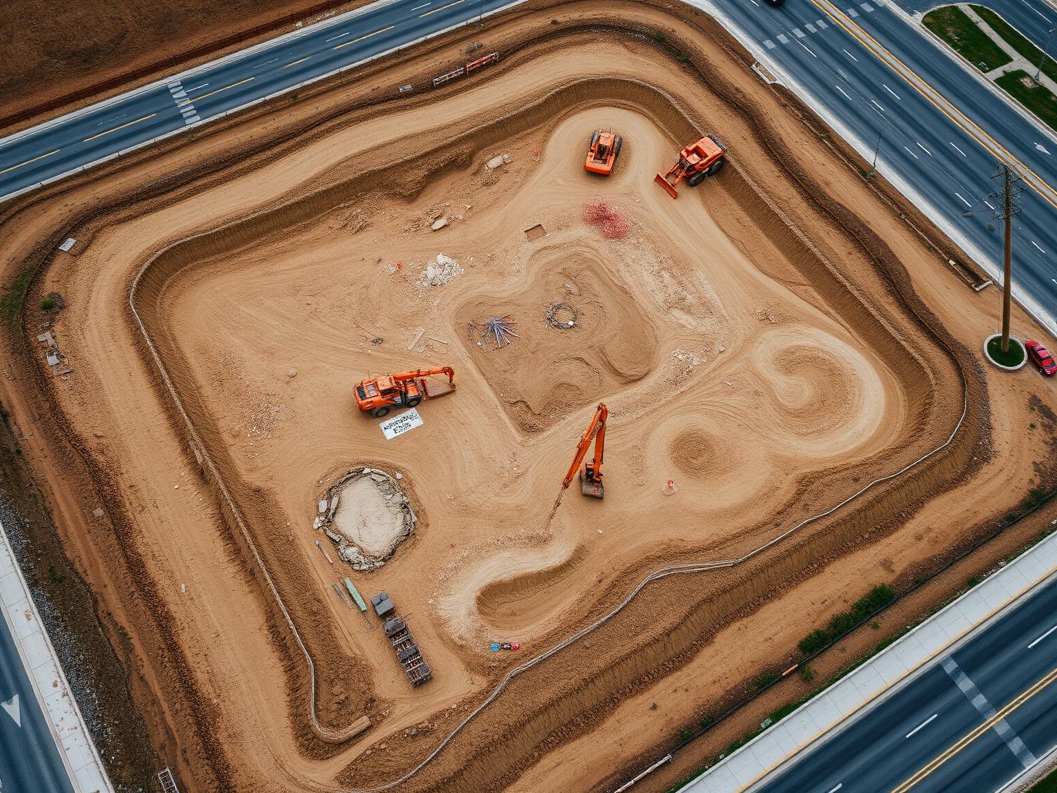
Stage 01 · Sitework
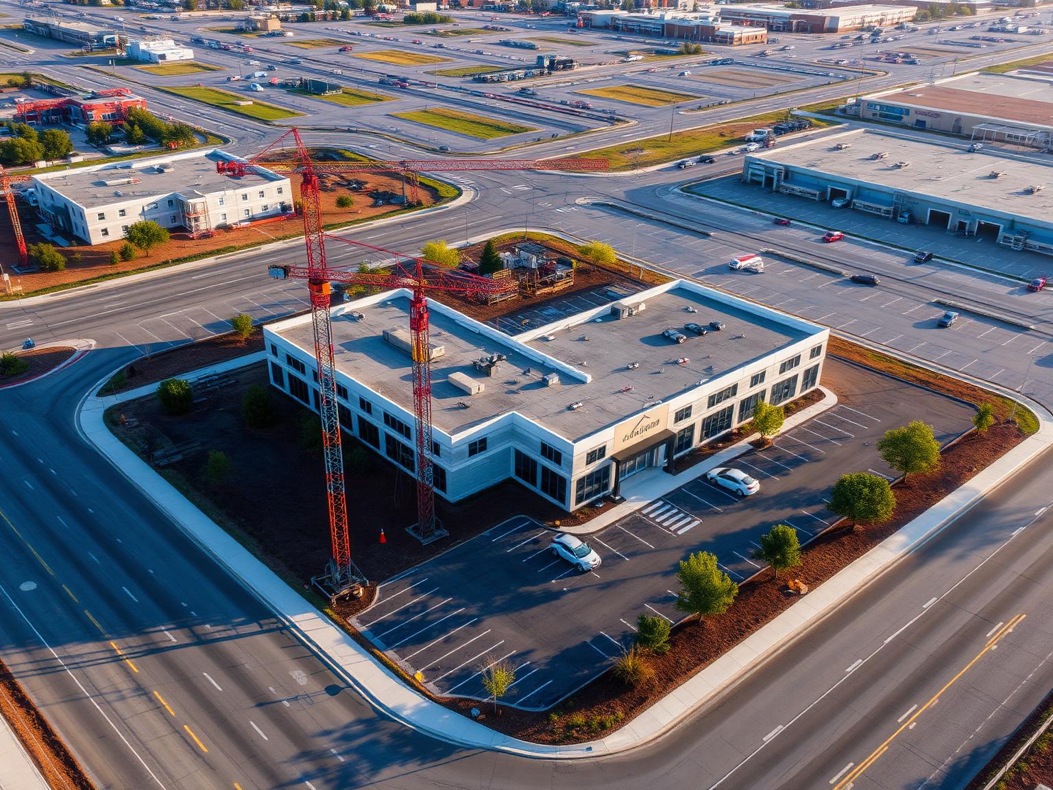
Stage 02 · Structure
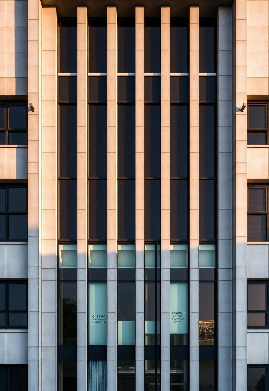
Stage 03 · Completion
- 01Scheduled Site Visits
- 02High-Resolution Photography
- 034K Aerial Video
- 04Milestone Documentation
- 05Organized Project Delivery
02 / Selected Work
The work
speaks for itself.
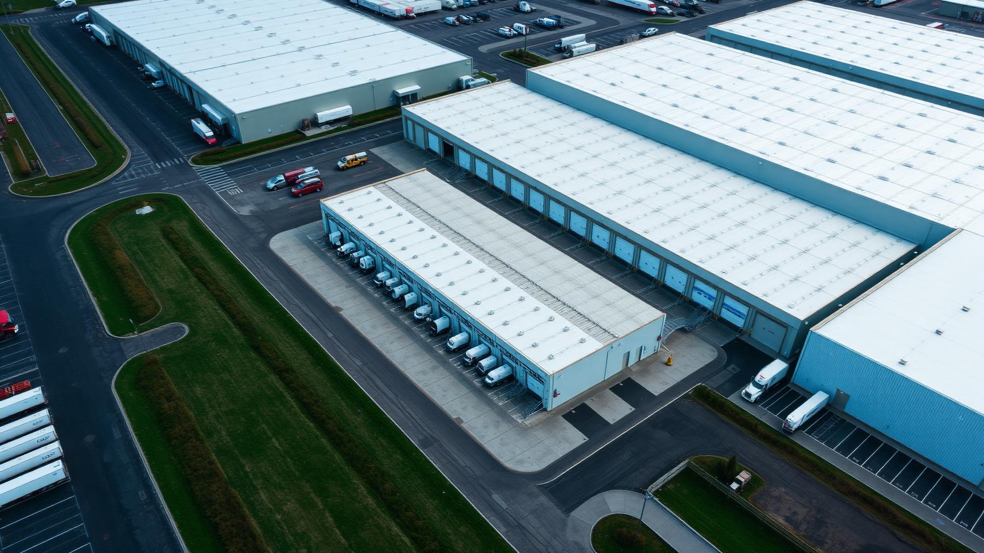
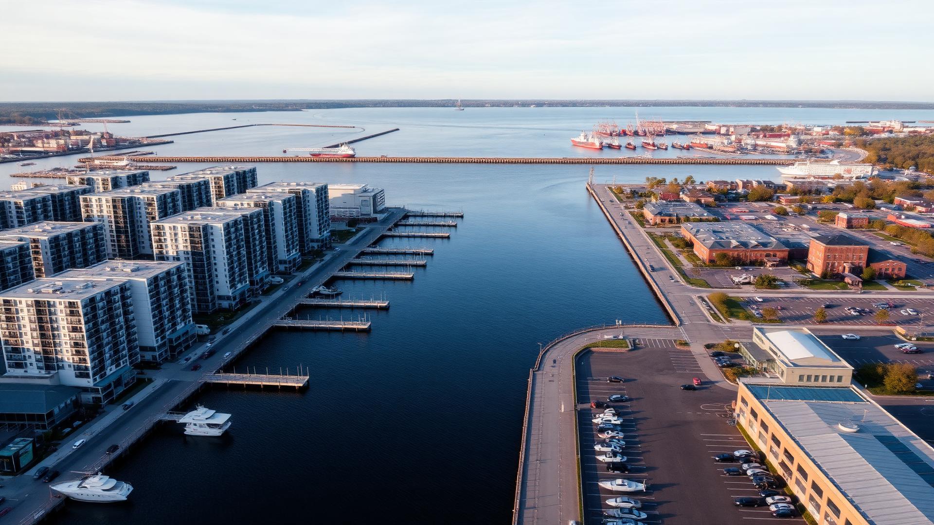
Real projects. Professional aerial results.
What You Receive
More than
a drone flight.
- High-Resolution Photography01
- 4K Aerial Video02
- Progress Documentation03
- Inspection Imagery04
- Maps & Models05
- Organized Digital Delivery06
03 / Industries
Built for projects
that matter.
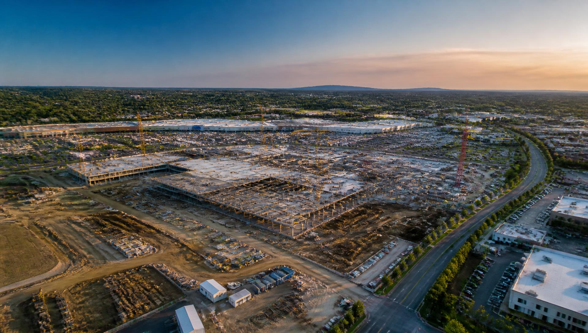
Progress documentation for active jobsites
04 / How It Works
Simple from
start to finish.
Tell us about your project
Tell us what you need, where the project is located and your desired timeline.
We plan
We review the site, airspace, project requirements and required deliverables.
We fly
An FAA Part 107 certified pilot captures the required aerial imagery or data.
We process
We organize and process your photography, video, mapping or project documentation.
We deliver
Your completed files are delivered digitally and ready to share with your team, stakeholders or clients.
Professional from
planning to delivery.
FAA Part 107 Certified
Every flight is operated by a certified remote pilot.
Commercially Insured
Coverage documentation available for your project file.
Reliable Scheduling
We show up when we say we will and keep you updated.
Professional Deliverables
Organized, clearly labeled files your team can use.
Construction-Focused
We understand jobsites, schedules and site coordination.
Responsive Service
Direct communication and quick turnaround on requests.
05 / FAQ
Questions?
We've got answers.
Have a project in mind?
Let's see it
from above.
Tell us about your project and we'll recommend the right drone service for your needs.