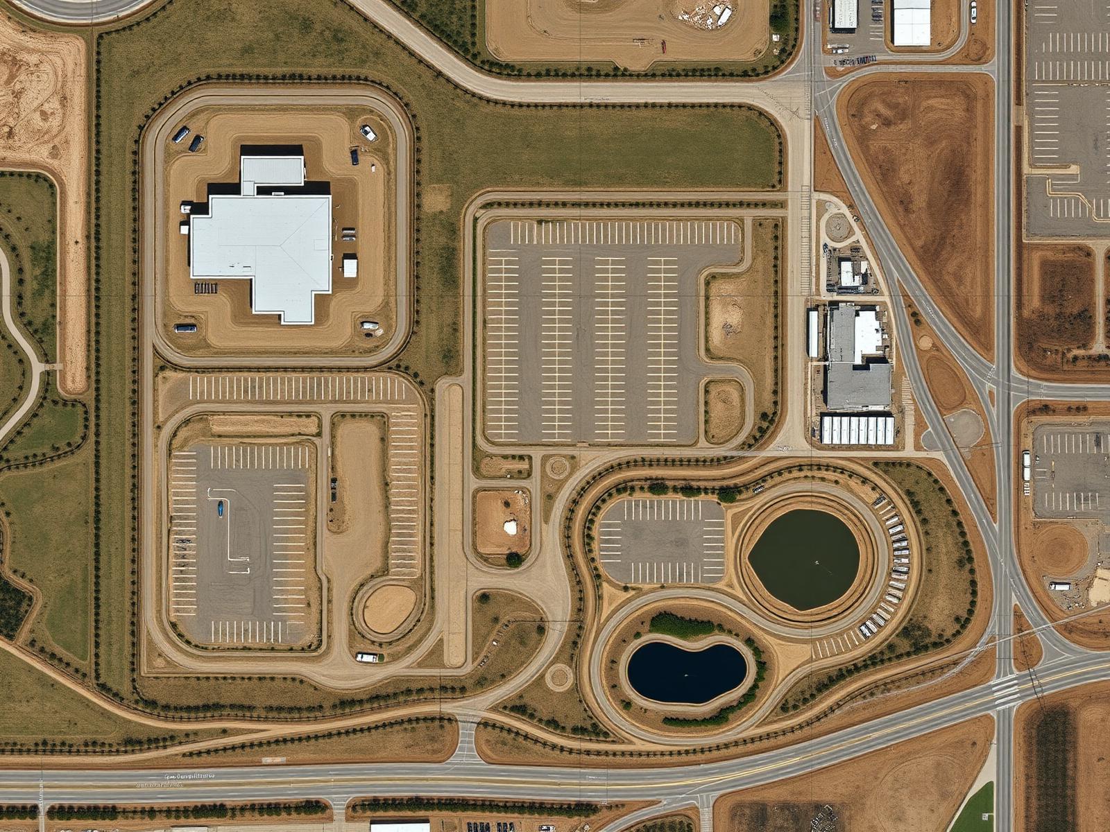
Drone Mapping & Modeling
See the site
as a whole.
Professional aerial mapping and visual documentation that provides a clearer perspective of sites, properties and projects.
Serving commercial projects throughout Maryland, Washington DC and Virginia.
From flight to perspective
Turn aerial imagery
into a clearer view.
Drone mapping combines systematically captured aerial imagery to create broader visual representations of a site or project — one planned flight, one unified view.
Flight
Imagery
Processing
Deliverable
FlightImageryProcessingDeliverable
Potential deliverables
The output is
the point.
Depending on project requirements and available capabilities, deliverables can include:
Orthomosaic Imagery
01
Systematically captured aerial imagery combined into a single broad, high-resolution visual overview of the site.
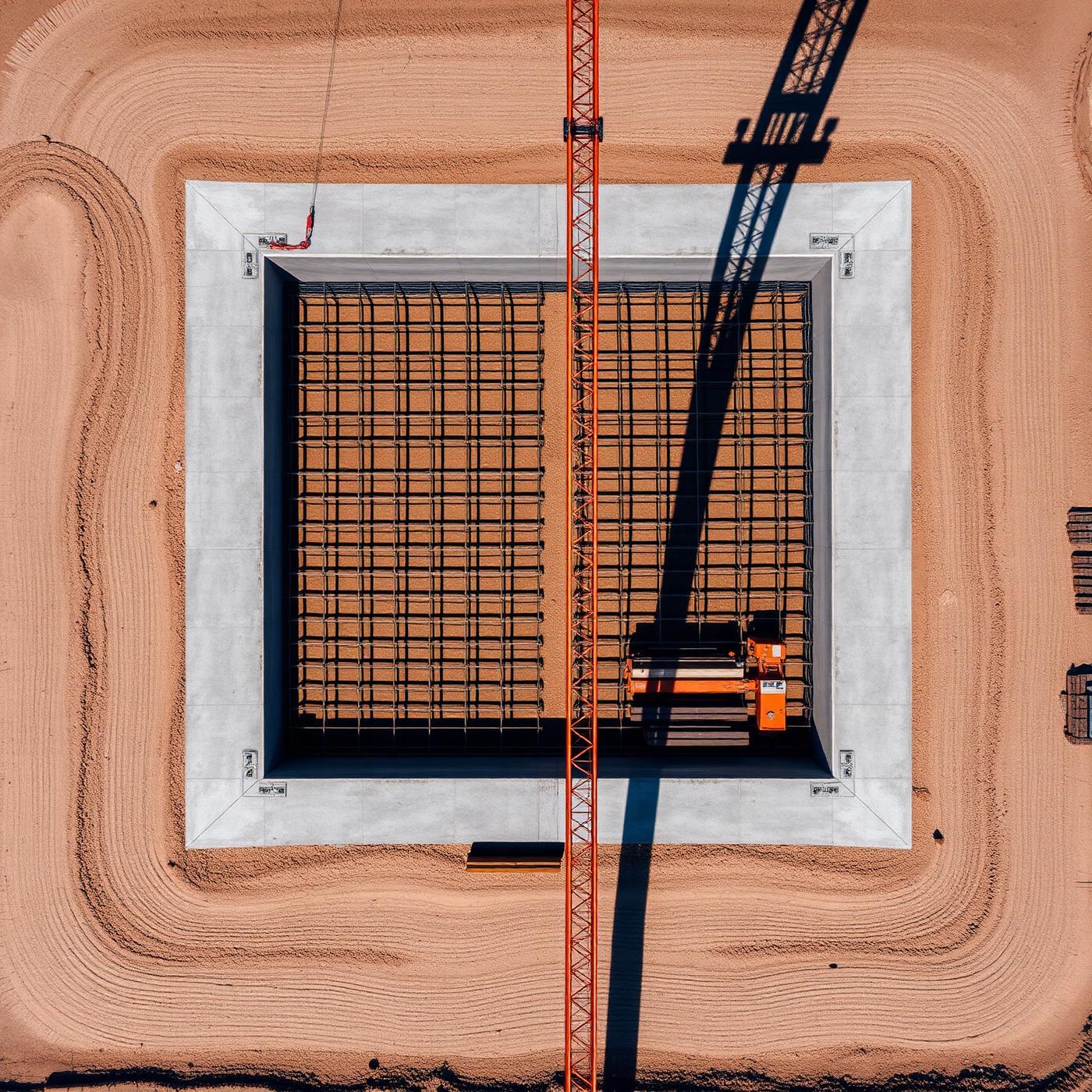
Aerial Site Imagery & Visual Mapping
02
Planned aerial coverage providing clear, organized visual documentation of the full project area.
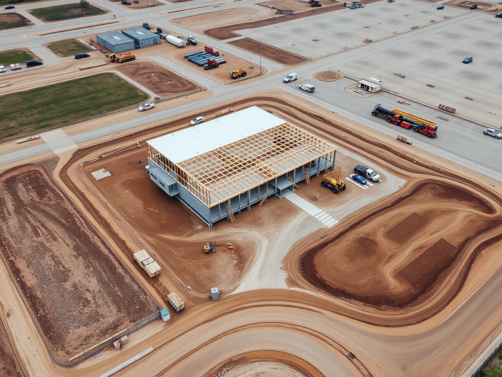
3D Models — Where Applicable
03
Where project requirements and capabilities allow, aerial imagery can be processed into navigable 3D visual models of the site.
Also available
- Site Overview Documentation
- Project Documentation
- Progress Documentation
Applications
A clearer view
of complex sites.
Aerial mapping and visual documentation support the teams planning, building and managing complex sites and properties.
Construction Sites
Development Sites
Commercial Properties
Infrastructure Projects
Large Facilities
Land Documentation
Project Planning Support
Progress Documentation
Next Tier Aerial provides professional aerial mapping, imaging and visual documentation. Our services do not replace licensed surveying or engineering, and deliverables are not represented as survey-grade measurements, boundary surveys or engineering-grade outputs.
The difference
One photo shows an angle.
A processed view shows the site.
A traditional aerial photo captures one moment from one angle. A processed site view combines systematic coverage into a single, broader representation of the whole project.
Before — Traditional Aerial Photo
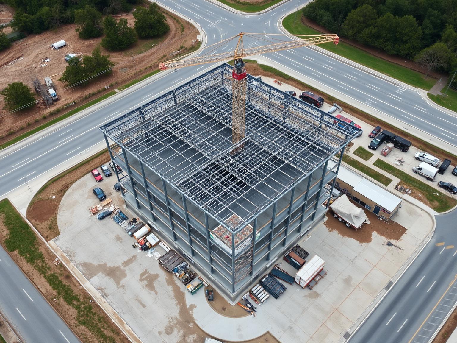
A single image. Useful — but limited to the angle it was captured from.
After — Processed Site View / Map
Systematic aerial coverage processed into one unified view of the entire site — clearer context for planning, documentation and communication.
How it works
From site
to deliverable.
- Define the projectTell us about the site, the deliverables you have in mind and how you plan to use them.
- Review the siteWe assess the location, airspace considerations and the coverage needed for the project.
- Plan & captureFlight patterns and coverage are planned systematically, then captured by our FAA Part 107 certified pilots.
- Process the imageryThe captured imagery is processed into the appropriate visual outputs for the project.
- Deliver the outputFinal deliverables are organized and delivered digitally, ready to review and share.
FAQ
Questions,
answered.
Straight answers about what drone mapping is, what it can deliver and where its limits are. Anything else — just ask.
Have a site or project in mind?
Let's get
the full picture.
Tell us about your site, project and desired deliverables and we'll determine the appropriate aerial approach.
Serving Maryland, Washington DC, Virginia & the greater Mid-Atlantic.