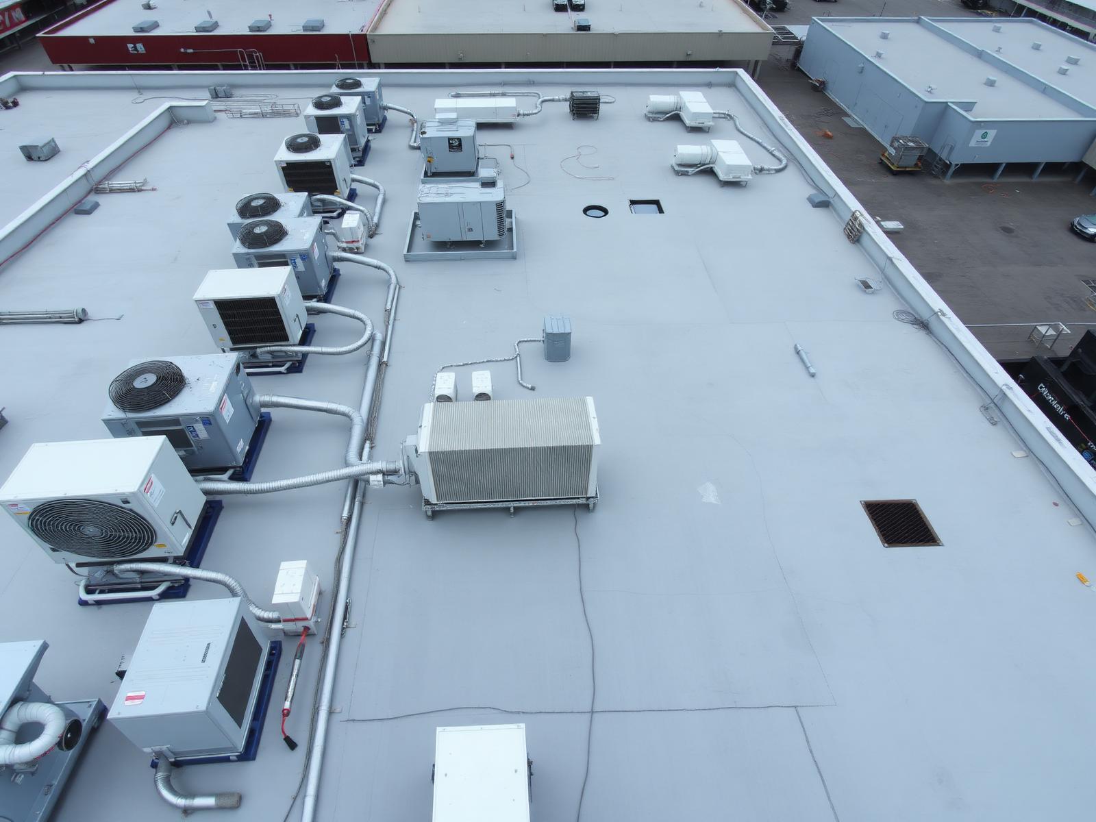
Drone Inspections
A closer look.
Without losing
perspective.
Professional aerial imagery for roofs, structures, facilities and difficult-to-access areas across Maryland, Washington DC and Virginia.
FAA Part 107 Certified · Fully Insured · MD / DC / VA / Mid-Atlantic
A better perspective
See what's difficult
to see from the ground.
Drone-based visual documentation can provide detailed aerial perspectives of structures and assets without relying solely on ground-level viewpoints.
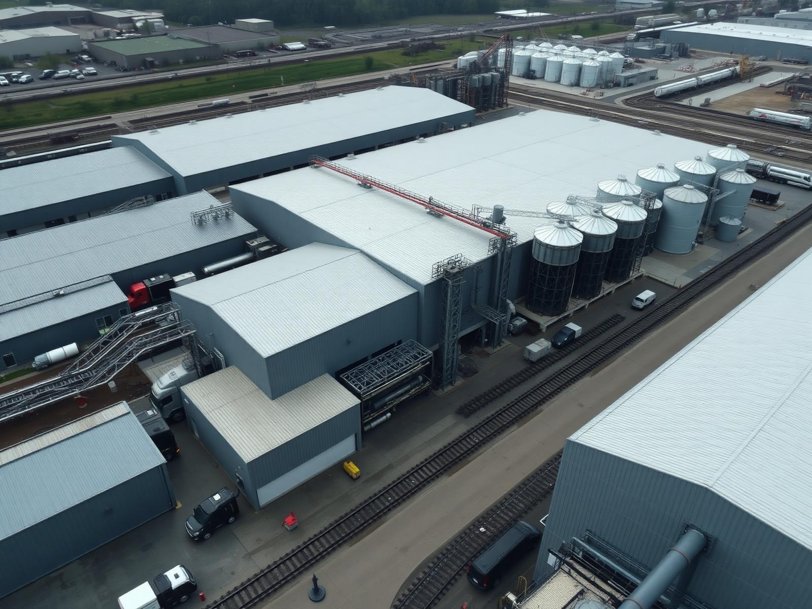
01 — Overview
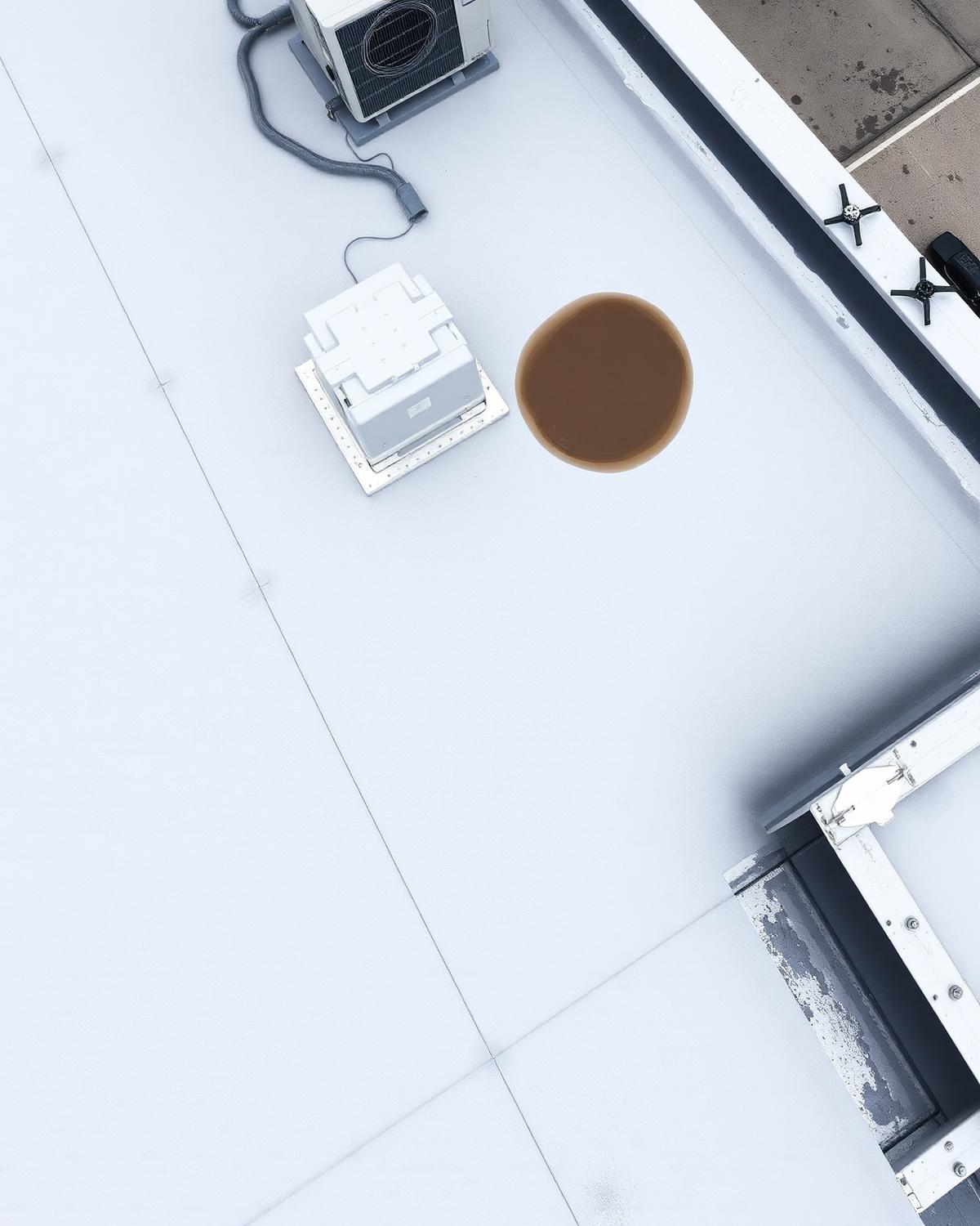
02 — Detail
Applications
Built for
hard-to-see areas.
Aerial imaging and visual documentation for the places ladders, lifts and ground-level photos can't easily reach.
Commercial Roofs
Building Exteriors
Structures
Construction Sites
Facilities
Infrastructure
Solar Installations
Property Documentation
Next Tier Aerial provides professional aerial imaging and visual documentation. We do not provide licensed engineering assessments, structural certification, thermal inspection or engineering conclusions — we capture the imagery your team and your professionals can work from.
What you receive
Clear imagery.
Useful perspective.
High-Resolution Aerial Photography
Detailed still imagery of the areas that matter, captured from professional aerial vantage points.
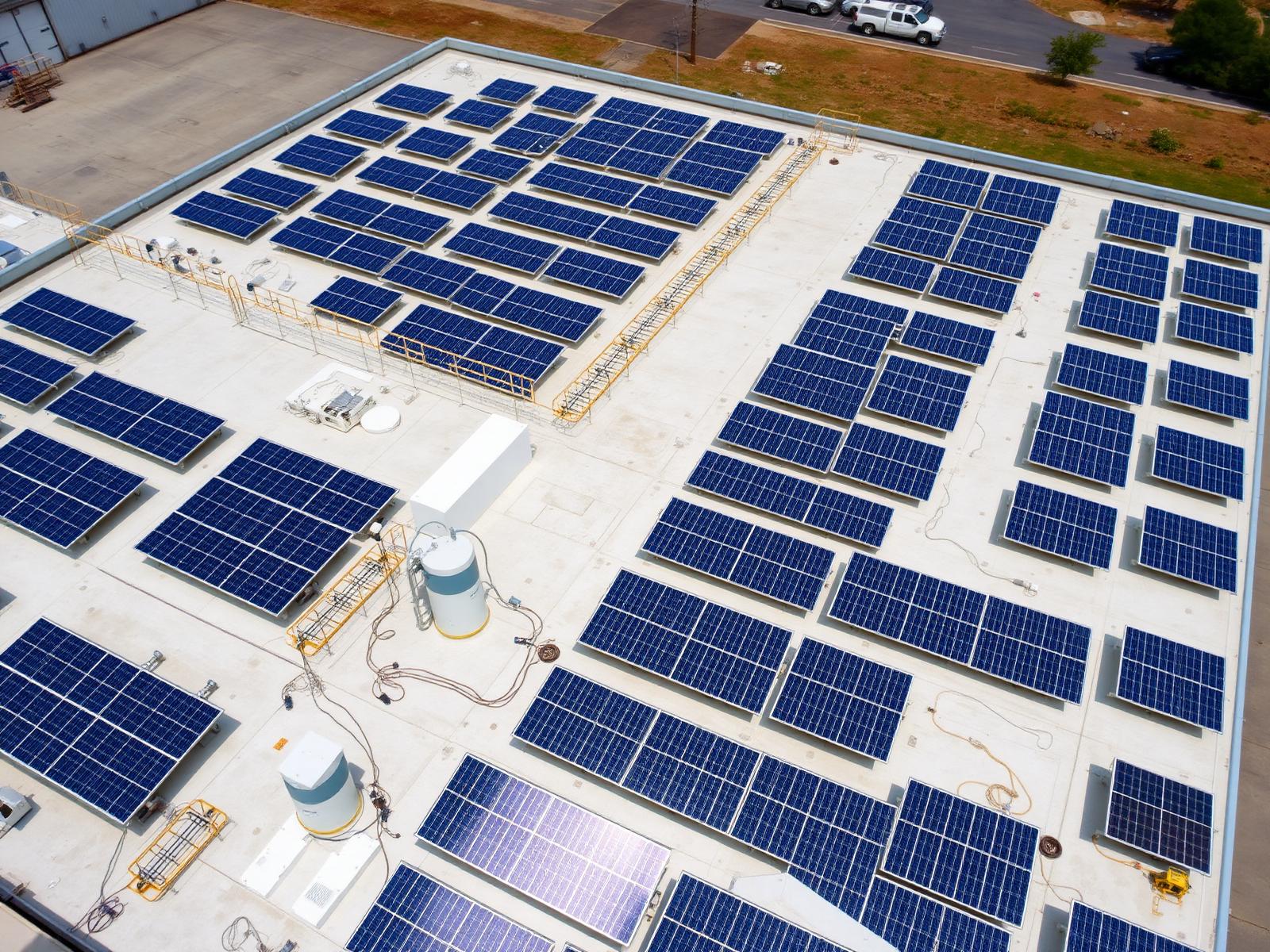
Wide-Area Overviews
Full-property and full-structure context so every detail can be understood in place.
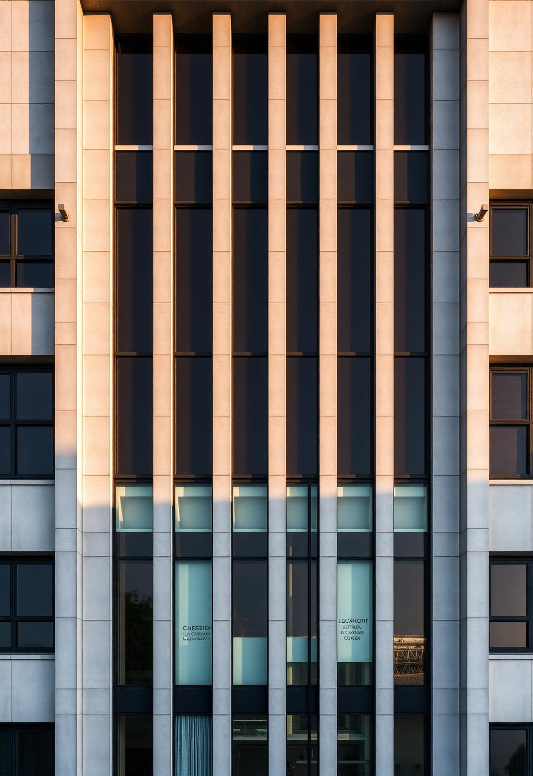
4K Aerial Video
Smooth aerial video providing an additional moving perspective of the site or structure.
Also included
- Detailed Visual Imagery
- Organized Digital Files
- Location-Specific Documentation
From context to close-up
The big picture.
The area of interest.
The detail.
A single flight can move from full-property context to the specific detail you need to see — three scales of perspective, one organized delivery.
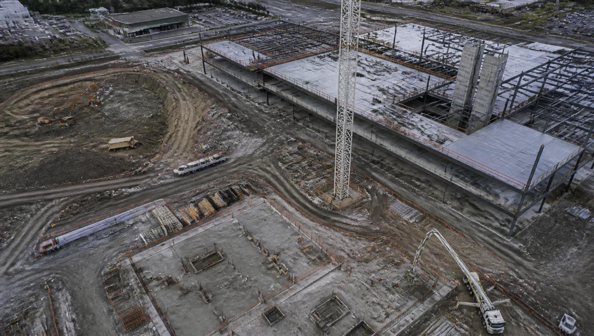
The Big Picture
01
Start with the full property or structure in context.
The Area of Interest
02
Move in on the section that needs attention.
The Detail
03
Capture the close perspective that ground level can't provide.
How it works
From request
to delivery.
- Tell us what needs to be documentedShare the property, structure or area of concern and what you need to see.
- We review the site & requirementsWe assess the location, airspace considerations and the coverage you're asking for.
- We plan the flightVantage points, coverage and timing are planned around your documentation goals.
- We capture the required imageryOur FAA Part 107 certified pilots complete the flight safely and professionally.
- We organize & deliver the filesYour imagery is organized and delivered digitally, ready to review and share.
Who we support
Built for the people
responsible for the property.
- Commercial Property Owners
- Contractors
- Developers
- Facility Managers
- Engineering Teams
- Construction Teams
- Government Contractors
FAQ
Questions,
answered.
Straight answers about what's possible, what's included and how a flight gets scheduled. Anything else — just ask.
Ready when you are
Need a better
view of the property?
Tell us what you need documented and we'll evaluate the project and recommend the appropriate aerial approach.
Serving Maryland, Washington DC, Virginia & the greater Mid-Atlantic.