
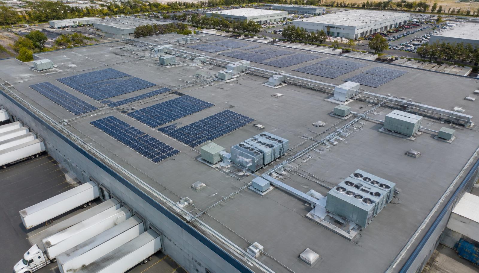
Sector expertise built on active project experience
We speak the language of schedules, submittals, inspections, and compliance — and we build deliverables that fit the way each sector actually works.
Construction
Challenge
Superintendents, owners, and lenders see different versions of site truth, and delay documentation is assembled after the fact.
Aerial Solution
Recurring aerial captures create a shared, time-stamped record of the site that supports OAC meetings, pay applications, and schedule verification.
Typical Deliverables
- Monthly orthomosaics
- Progress photo sets
- Schedule-linked video
- Logistics plan overlays
Engineering
Challenge
Design and construction administration teams need current site geometry without waiting on full survey mobilization.
Aerial Solution
Survey-controlled photogrammetry provides current surfaces, contours, and models that integrate directly into design and QA workflows.
Typical Deliverables
- Point clouds (LAS)
- Digital surface models
- Contour files
- As-built comparison exhibits
Government
Challenge
Agencies must document public works, respond to conditions quickly, and satisfy procurement and compliance requirements.
Aerial Solution
Mission-ready aerial support with documented safety plans, airspace coordination, and GIS-compatible deliverables suited to agency systems.
Typical Deliverables
- GIS-ready mapping
- Mission safety documentation
- Public exhibit graphics
- Condition reports
Utilities
Challenge
Transmission corridors, substations, and distribution assets are dispersed, energized, and expensive to inspect on foot.
Aerial Solution
Corridor mapping and thermal inspection identify hotspots, vegetation encroachment, and structural issues without de-energizing assets.
Typical Deliverables
- Corridor orthomosaics
- Thermal anomaly reports
- Vegetation encroachment maps
- Structure photo index
Commercial Real Estate
Challenge
Owners and asset managers lack a current, consistent visual record across a distributed portfolio.
Aerial Solution
Standardized documentation flights produce comparable records for every property, supporting capital planning and transactions.
Typical Deliverables
- Property overview imagery
- Roof condition sets
- Site context maps
- Portfolio archive by asset ID
Solar
Challenge
Underperforming strings and modules are difficult to isolate across large arrays through manual testing alone.
Aerial Solution
Aerial thermal scanning locates cell, string, and combiner anomalies quickly, prioritizing field crews where output is actually lost.
Typical Deliverables
- Thermal anomaly maps
- Module-level fault index
- Construction progress captures
- Commissioning documentation
Municipalities
Challenge
Public works departments manage roads, facilities, stormwater, and parks with limited staff and aging record data.
Aerial Solution
Recurring aerial capture creates a maintained visual and geospatial baseline for planning, budgeting, and community communication.
Typical Deliverables
- Citywide orthomosaics
- Facility condition imagery
- Stormwater and drainage overviews
- Council presentation exhibits
Architecture
Challenge
Site context, massing studies, and construction administration require accurate views that ground-level photography cannot provide.
Aerial Solution
Controlled aerial perspectives and site models support design development, visualization, and field observation reporting.
Typical Deliverables
- Context aerials at set angles
- Site models and meshes
- Massing study base imagery
- Observation photo reports
Land Development
Challenge
Entitlement, grading, and phasing decisions depend on current conditions across large parcels that change weekly.
Aerial Solution
Parcel-wide mapping and volumetrics track grading progress, stockpiles, and infrastructure installation through every phase.
Typical Deliverables
- Parcel orthomosaics
- Stockpile volume reports
- Phasing exhibits
- Utility installation documentation
Environmental
Challenge
Compliance monitoring, erosion control, and restoration tracking require regular field verification across difficult terrain.
Aerial Solution
Scheduled aerial capture documents site conditions, control measures, and vegetative change with consistent, defensible evidence.
Typical Deliverables
- Erosion and sediment control documentation
- Change-detection imagery
- Wetland and buffer overviews
- Compliance report packages
Talk through the requirements in your sector
Tell us about your site, schedule, and reporting requirements. We'll scope a flight plan and deliverable package built around your project controls.