
Representative aerial intelligence engagements
Placeholder portfolio entries structured the way owners and evaluators review past performance: objectives, scope, deliverables, and measurable outcomes.
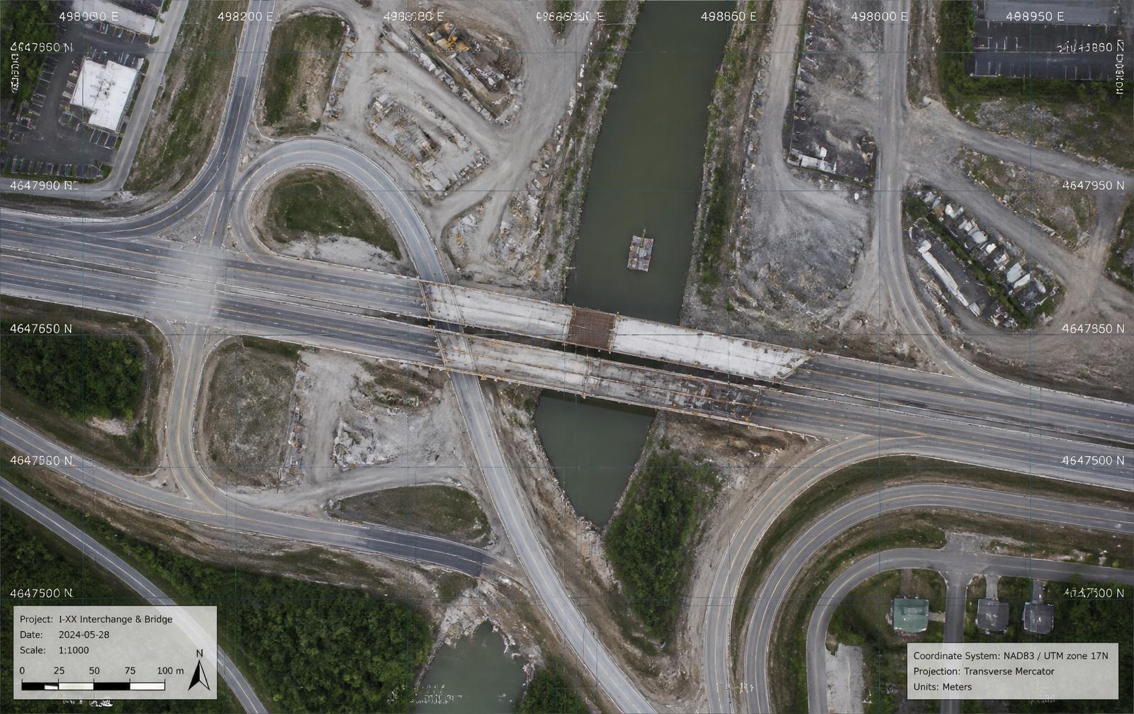
I-XX Interchange & Bridge Replacement Program
A two-mile corridor reconstruction with staged bridge demolition, ramp realignment, and continuous traffic maintenance. The owner required monthly documentation without lane closures.

Objectives
- Document staged demolition and reconstruction monthly
- Verify earthwork quantities independently
- Provide public-meeting exhibits for the owner
Services Provided
- Aerial Mapping & Modeling
- Construction Progress Monitoring
- Government Support
Deliverables
- 2cm/px georeferenced orthomosaics
- Cut/fill volumetric reports
- 3D corridor mesh and point cloud
- Quarterly stakeholder video
Outcome
Field verification hours dropped by an estimated 40% and monthly reporting shifted to measurable, image-backed evidence accepted by the owner and design team.
“Placeholder testimonial — client quote describing responsiveness, data quality, and value to the program team.”
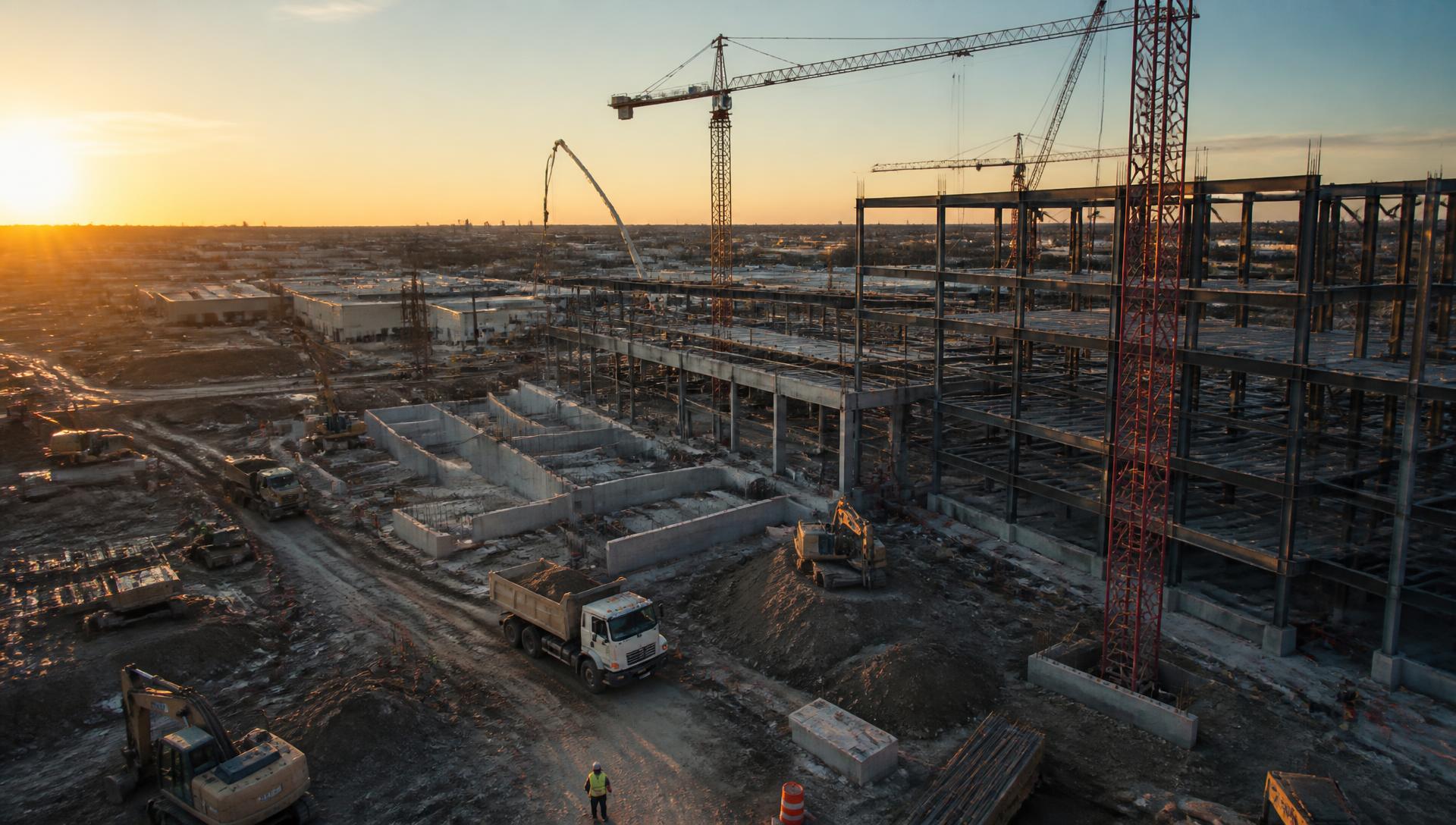
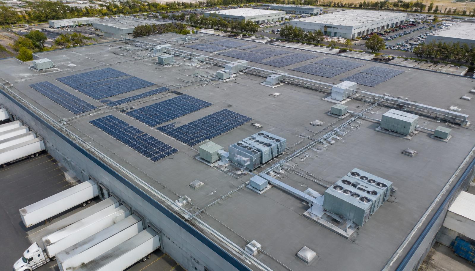
1.2M SF Distribution Center — Ground-Up Build
A ground-up logistics facility on a 90-acre site with aggressive sitework and tilt-wall sequencing. The general contractor needed defensible weekly documentation for owner reporting.
Objectives
- Track sitework, foundations, and tilt-wall erection weekly
- Support pay application and schedule verification
- Document logistics and laydown planning
Services Provided
- Construction Progress Monitoring
- Aerial Mapping & Modeling
- Aerial Media
Deliverables
- Weekly fixed-point photo sets
- Monthly site orthomosaics
- Stockpile volume tracking
- Milestone highlight video
Outcome
The project team resolved two schedule disputes using time-stamped imagery and eliminated recurring site walks for out-of-state stakeholders.
“Placeholder testimonial — general contractor quote about documentation quality and dispute resolution value.”
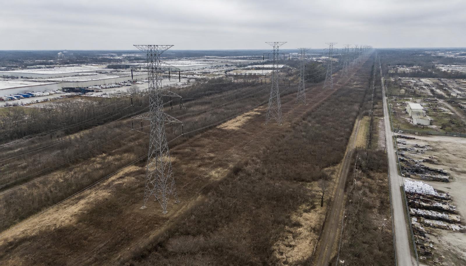
Transmission Corridor Condition Assessment
A 22-mile transmission corridor assessment covering structure condition, vegetation encroachment, and access road status ahead of a planned hardening program.
Objectives
- Assess structure condition without de-energizing lines
- Map vegetation encroachment risk
- Prioritize hardening capital by segment
Services Provided
- Infrastructure Inspections
- Aerial Mapping & Modeling
Deliverables
- Structure-by-structure photo index
- Thermal anomaly report
- Encroachment risk map
- Segment prioritization summary
Outcome
The utility redirected first-year hardening funds to the three highest-risk segments identified in the assessment.
“Placeholder testimonial — utility asset manager quote on safety and inspection efficiency.”
Additional project references and past performance details are available on request for qualified commercial and government procurement reviews.
Request ReferencesLet's Elevate Your Project Visibility
Tell us about your site, schedule, and reporting requirements. We'll scope a flight plan and deliverable package built around your project controls.