Aerial data services engineered for project delivery
Every engagement is scoped around a decision your team needs to make — schedule verification, condition assessment, quantity confirmation, or stakeholder reporting.
Six service lines, one operating standard. Each program includes a documented flight plan, site-specific safety review, defined deliverable formats, and a committed turnaround window.
Construction Progress Monitoring
The Problem
Owners and project executives rely on written narratives and inconsistent phone photos to understand what actually happened on site last month. Disputes, delay claims, and rework arguments follow.
Our Solution
We establish a recurring capture schedule with fixed altitudes, angles, and flight paths so every visit produces directly comparable imagery, mapped against your schedule milestones.
Benefits
- Objective, time-stamped evidence of site conditions
- Faster owner and lender reporting cycles
- Reduced travel for remote stakeholders
- Defensible documentation for claims and change orders
Deliverables
- Monthly or bi-weekly orthomosaic maps
- Fixed-point comparison photo sets
- Progress video with milestone annotations
- Shareable web viewer link
Infrastructure Inspections
The Problem
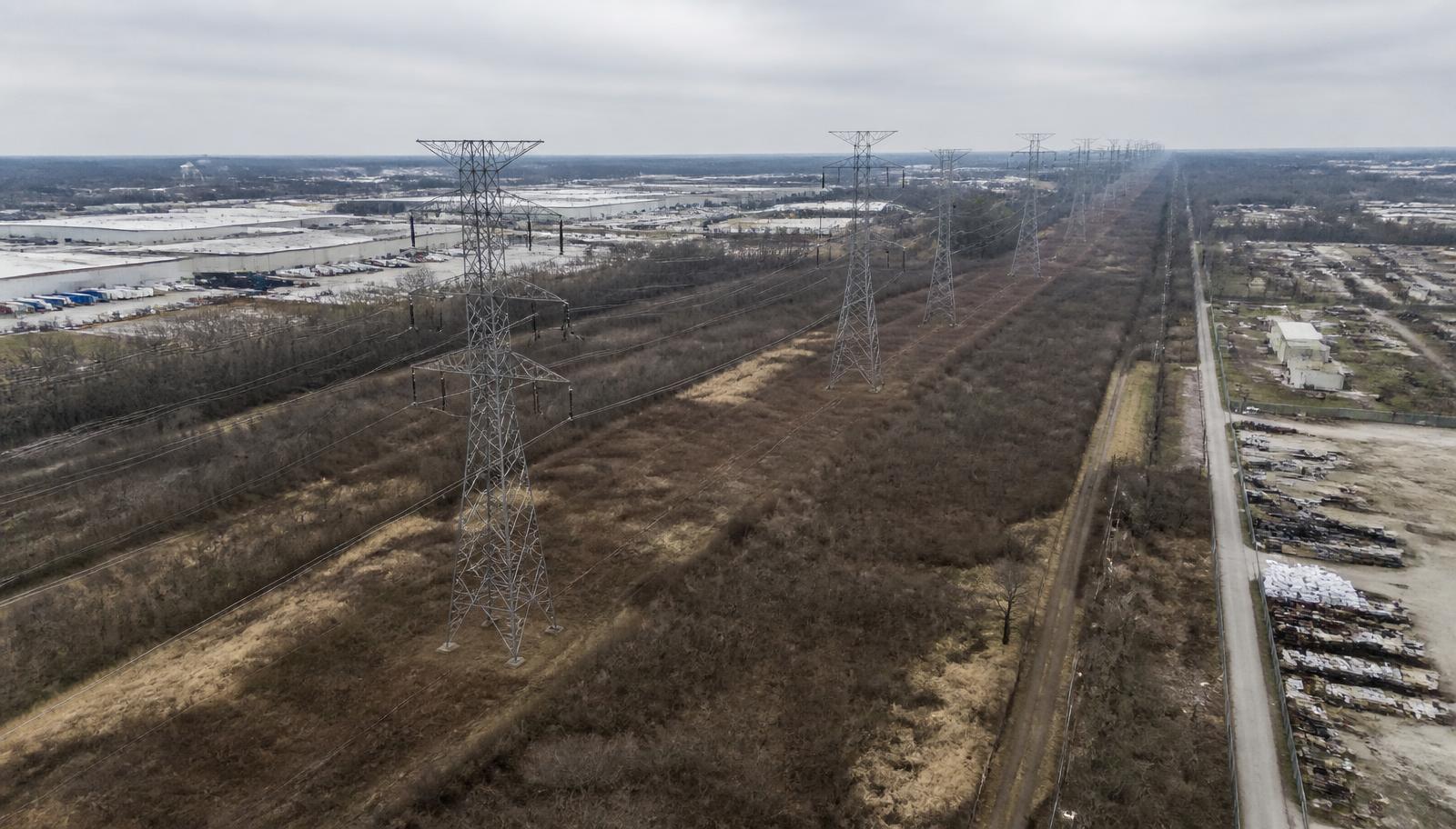
Bridge undersides, rooftops, towers, and utility corridors require lifts, rope access, or lane closures — driving up cost, exposure, and downtime.
Our Solution
Close-visual and thermal aerial inspection captures defect-level detail from safe standoff distances, with georeferenced findings tied to structure IDs.
Benefits
- Eliminates most at-height exposure for inspection crews
- No lane closures or facility shutdowns in most cases
- Repeatable baselines for condition trending
- Faster prioritization of maintenance capital
Deliverables
- Annotated defect imagery with locations
- Thermal anomaly overlays
- Condition summary report (PDF)
- Raw imagery archive
Aerial Mapping & Modeling
The Problem
Design teams and earthwork contractors need current site geometry, but traditional survey cycles are too slow and too narrow to keep pace with active grading.
Our Solution
Photogrammetric capture tied to ground control produces survey-grade orthomosaics, point clouds, digital surface models, and volumetric calculations.
Benefits
- Current site conditions on demand
- Independent verification of earthwork quantities
- Design-to-built comparison against models
- Data compatible with Civil 3D, ArcGIS, and Autodesk workflows
Deliverables
- Georeferenced orthomosaic (GeoTIFF)
- Point cloud (LAS/LAZ) and 3D mesh
- Contours and digital surface model
- Cut/fill volumetric report
Commercial Documentation
The Problem
Facility and portfolio owners lack a current, consistent visual record of their assets for insurance, capital planning, and due diligence.
Our Solution
Standardized documentation packages capture every building, roof plane, yard, and access route in a repeatable format across the portfolio.
Benefits
- Consistent asset records across locations
- Supports insurance and loss documentation
- Improves capital planning accuracy
- Speeds transactions and due diligence
Deliverables
- Site and roof plane imagery sets
- Labeled facility overview maps
- Asset condition photo index
- Archive delivered by property ID
Government Support
The Problem
Agencies need aerial data from a vendor that understands compliance, documentation standards, procurement, and airspace coordination.
Our Solution
Mission support delivered with written safety plans, airspace authorizations, documented chain of custody, and formats that match agency reporting requirements.
Benefits
- Documented Part 107 and airspace compliance
- Deliverables aligned to agency standards
- Responsive support for time-sensitive missions
- Registered and ready for contract vehicles
Deliverables
- Mission plan and safety documentation
- GIS-ready mapping products
- Public-meeting-ready visual exhibits
- Post-mission reporting package
Aerial Media
The Problem
Marketing, proposal, and executive communications teams need credible imagery of real projects — not generic stock photography.
Our Solution
Broadcast-quality aerial stills and video captured during active operations, produced to communicate scale, complexity, and capability.
Benefits
- Strengthens proposals and qualification packages
- Communicates project scale to stakeholders
- Reusable across web, print, and presentations
- Captured during work you are already performing
Deliverables
- Edited highlight video (60–120s)
- High-resolution still library
- Vertical cutdowns for social
- Licensed for unrestricted corporate use
Scope the right aerial program for your project
Tell us about your site, schedule, and reporting requirements. We'll scope a flight plan and deliverable package built around your project controls.